Where hiking in the Province of Huelva feels different
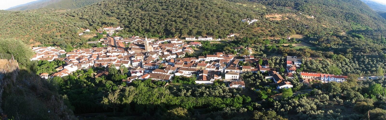
The province has two very different walking landscapes. In the Sierra de Aracena and Picos de Aroche, paths follow old village connections through oak woodland, chestnut groves, streams and grazing country. In the south, Doñana’s visitor routes take you through pines, dunes and wetlands where the main attraction may be a distant bird rather than a summit. Choosing between them is less about ticking off the longest hike and more about the kind of day you want outdoors.
The trails below are named routes described by the Andalusian environmental authority or Doñana’s national-park visitor service. For routes officially designated linear, published distances normally refer to one direction: do not confuse those figures with an out-and-back day. Natural areas can temporarily close trails because of fire risk, flooding, conservation work or other restrictions.
1. Ribera de Jabugo: woodland and water between villages
The route between Galaroza and Castaño del Robledo follows the Ribera de Jabugo through some of the Sierra’s lushest vegetation. Ferns, streamside trees and shaded sections give the first part a cool, enclosed feeling; later the path gains height on a steeper hillside with stone steps before approaching the village.
The official route is linear, approximately 4.8 km one way, with a published difficulty of low. That rating does not mean the entire surface is flat or step-free. It is a good choice for walkers who value changing vegetation more than uninterrupted panoramas.
Planning: Start at the signed entrance by the N-433 through Galaroza and decide in advance whether to walk back or arrange transport from Castaño del Robledo. There may be livestock because this is also a stock route. Avoid promising yourself a gentle stroll if steep steps are difficult.
2. El Talenque to Valdelarco: an approachable village-to-village walk
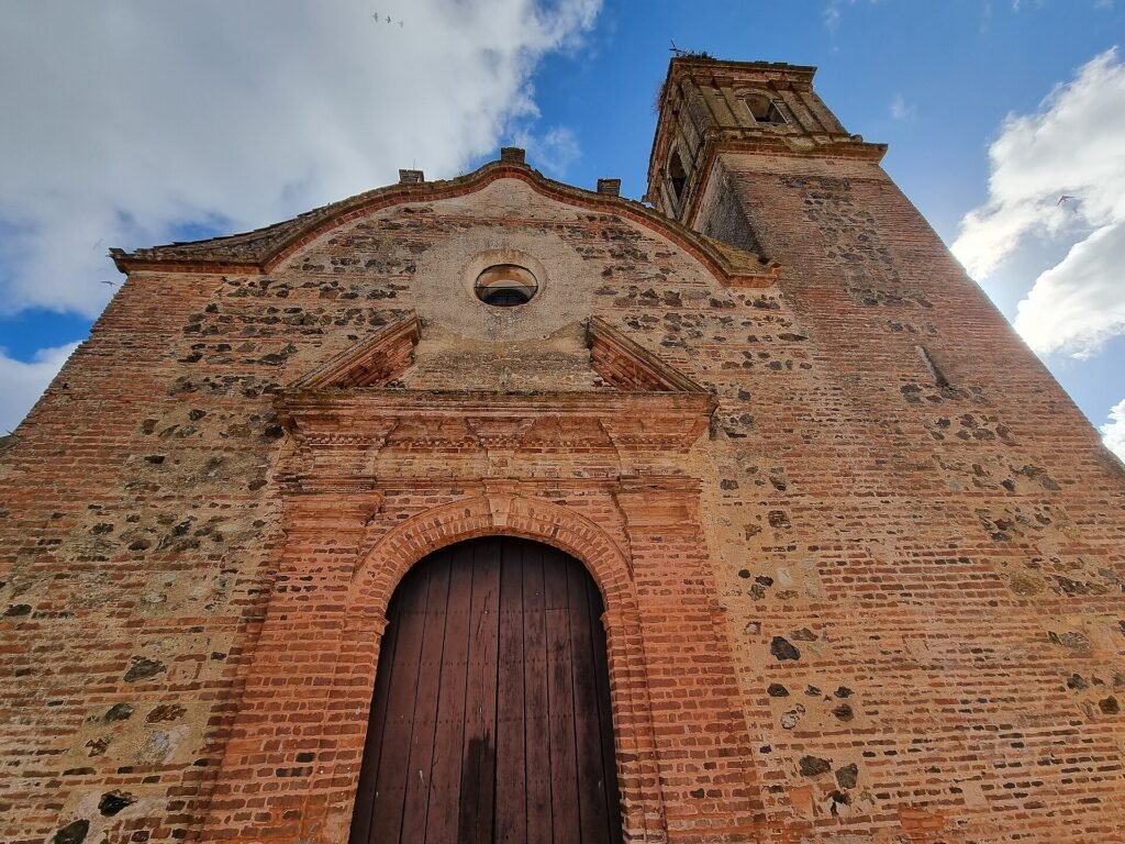
Near Navahermosa, the El Talenque recreation area makes a natural starting point for a short trip into the hills. The signed trail runs to Valdelarco, a small settlement with traditional Sierra architecture. Its appeal lies in the gradual change from picnic-area greenery to countryside paths and finally the village itself.
Andalusia’s route sheet gives approximately 3 km one way, a low difficulty classification and an estimated 90 minutes. That makes it more manageable than many longer routes, provided you plan your return.
Planning: Find the signed start near El Talenque rather than navigating directly to Valdelarco and expecting to see a trailhead there. Carry water even on short walks, and do not rely on cafés or transport being available when you finish.
3. Aracena to Corteconcepción: walking out of a busy base
If Aracena is your overnight base, this signed path offers a change from cave visits and palace-town sightseeing. From the outskirts of Aracena, the route moves towards Corteconcepción through typical Sierra terrain, where quiet tracks and the surrounding dehesa landscape reveal how close working countryside is to the town.
The official linear route is approximately 4.4 km one way and listed as low difficulty, with a published walking time of about two hours. It is a useful half-day option only if you have thought about the return leg; an out-and-back is considerably longer.
Planning: The trail information locates the start at Camino de Fuente del Rey, off the HU-8126 outside Aracena. Follow the authority’s trail map rather than treating the town centre itself as the route start.
4. Peña de Arias Montano: a longer circular route from above Alájar
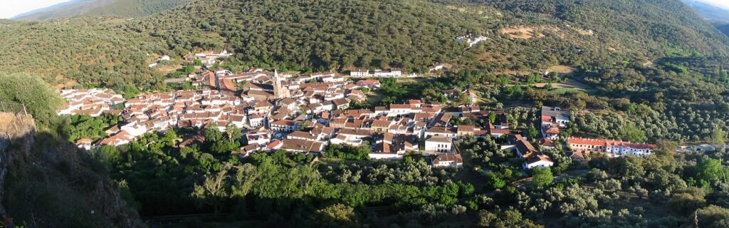
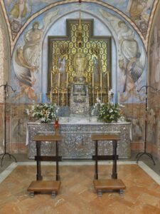
This circuit begins by the celebrated Peña de Arias Montano viewpoint and sanctuary, high above Alájar. It is an appealing option for walkers who want more continuity than a village-to-village link: the official route is circular and changes viewpoint as it passes between wooded hillsides and cultivated patches of the Sierra.
The authority lists approximately 8.7 km, medium difficulty and three and a half hours. The figure applies to the full circuit, not simply the distance from Alájar to the viewpoint. The trailhead is up by the sanctuary, reached by the road from Alájar towards Fuenteheridos.
Planning: Bring a route map, allow extra time for photo stops and do not treat the nearby road viewpoint as a substitute for checking the correct signed trail entrance. The route may feel quite different after rain.
5. Linares de la Sierra to Alájar via El Caracol
Among the Sierra’s most rewarding walks are the old connecting paths between villages. This one crosses traditional stone-walled passages and grazing country, with views back towards Linares de la Sierra and ahead towards Alájar. The setting is more intimate than a mountaintop hike: old agricultural routes, cork oaks and glimpses of houses between trees.
The signed El Caracol variant is listed at approximately 4.4 km one way, low difficulty and around two hours. It is a linear route, so budget for a return journey or arrange a pickup.
Planning: The documented starting points are at the end of Calle Encina in Linares de la Sierra and at the southern meeting of Calle Concepción and Calle Pintor Antonio Milla in Alájar. Use one official variant rather than mixing parallel signposted paths without a map.
6. Subida al Cerro de San Cristóbal: hill views above Almonaster
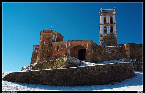
Almonaster la Real is worth visiting for its hilltop mosque, but the landscape above town deserves time as well. The route to Cerro de San Cristóbal passes historic rural features and woods before opening out towards the summit area and viewpoints. The official park description identifies the summit as one of the area’s major lookouts.
The climb is more of a hill walk than a gentle village amble. Although the views may tempt you to hurry, uneven ground and uphill sections deserve steady pacing; check the route sheet for the current distance, profile and marking before setting off.
Planning: Explore Almonaster’s historic quarter before or after the walk, rather than fitting it into a rigid stopwatch itinerary. Check weather visibility and any temporary access notice.
7. Sierra de los Gabrieles: a quieter medium-difficulty route
Near Arroyomolinos de León, the signed Sierra de los Gabrieles route offers an alternative to the most visited Aracena-area trails. Its purpose is to spend time in a less familiar mountain landscape rather than to rush between major tourist landmarks.
The official route is listed as linear, about 2.6 km one way, with a medium difficulty rating and an estimated one hour and ten minutes. Short does not necessarily mean easy: ground conditions, gradients and weather can make a noticeable difference.
Planning: The documented signposted starting point is by the HV-3122 between Arroyomolinos de León and Cañaveral de León, near the junction with the road towards Cala. Confirm the official trail description and avoid assuming there will be phone reception.
8. La Rocina: accessible birdwatching trails at Doñana
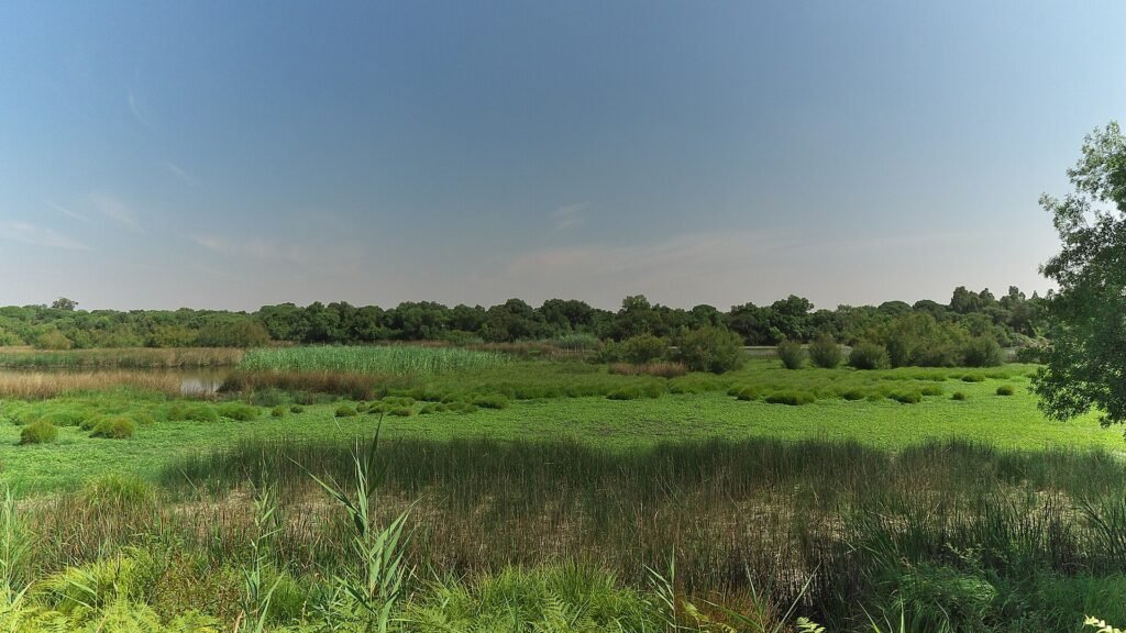
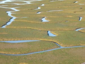
For an entirely different walk, head south towards El Rocío and the La Rocina visitor centre. The designated Charco de la Boca trail leads to bird hides overlooking wetland habitats. This is a walk that rewards stopping, listening and watching; the best observation may happen when you spend ten quiet minutes in one place.
The visitor centre can be reached on foot from El Rocío, and the park publishes route and visitor information. Water levels and wildlife sightings change substantially with the season, so a wetland that looks sparse on one visit can be very different at another time.
Planning: Pack binoculars if you have them, use only the public paths, and check with the visitor centre for access or boardwalk restrictions. This route is not permission to enter other, restricted parts of the national park.
How to choose a route and hike responsibly
For a shorter start: El Talenque–Valdelarco is a sensible signed village link, whereas the Doñana visitor trails suit a slower, observational outing. For a fuller walk: the Arias Montano circuit and Ribera de Jabugo offer contrasting experiences: one an upland loop, the other a streamside route with a later climb. If you are using public transport, check both ends of linear hikes before committing; a destination village is not automatically connected by a useful return service.
Download the latest route information from the Andalusian visitor-information portal and check park notices and local weather. Respect gates, grazing land and private property; do not gather mushrooms without knowing the rules or the species. In summer, start early and recognise that an exposed stretch can be hot even when nearby villages feel shady. Pack water, offline navigation, suitable footwear and a way to turn back.
Distance and difficulty figures above come from the official signed-route sheets when stated. They are planning references, not a guarantee of current passability or accessibility.