It is possible to enjoy important parts of the province of Huelva without renting a car. The mistake is assuming every town or beach works equally well by public transport. Huelva city has rail services to Seville and an interurban bus station, and several coastal settlements have regional bus connections. But a reserve entrance, a hotel outside a village and a beach bearing the name of a nearby town may be kilometres from the stop.
This guide is about choosing the right base and the right journeys for English-speaking visitors. It does not turn public-transit route descriptions into invented daily schedules. Official services must be checked for the precise travel date, especially in summer and on Sundays.
Huelva city is the easiest base for regional transport
Huelva city is generally the simplest place to start if you want several excursions without a car. Its intercity bus station serves different coastal corridors, while the rail connection towards Seville makes it accessible for visitors travelling from a larger rail hub. As a city it also provides accommodation, shops, restaurants and evening options without a resort-specific seasonal timetable.
But the railway station and bus station are distinct places. When planning a connection, check the actual walking route or urban transfer and allow enough time with luggage. A train arriving at Huelva does not place you automatically at a beach bus stop. If you have reduced mobility, verify the station entrances, crossing points and assistance arrangements with the relevant operators.
A good first decision is whether you want the city itself and several excursions or would prefer to spend most of the holiday by the sea. If the beach will be your daily activity, staying in a coastal locality may save more journeys than choosing Huelva city.
Getting to Huelva from Seville by train
Renfe operates Media Distancia trains between Seville and Huelva. This is a useful intercity option for travellers arriving in Seville by air or high-speed rail, but it is not a metro-like service where a departure is guaranteed every few minutes. Compare schedules for both outbound and return journeys, and check whether any engineering work has introduced rail-replacement transport.
There have been significant service disruptions due to storms and repair work in 2026. Rather than copying a permanent duration or departure count, use Renfe’s actual date-specific results. Book your longer journey before making tight connections to a coastal bus. Tickets may have different conditions, so confirm refunds and missed-connection rules when purchasing separate operators’ services.
If your hotel is in Isla Cristina, Ayamonte or Punta Umbría, the train is only the first stage. Huelva city remains your transfer point, and the end-to-end journey should be evaluated accordingly.
Punta Umbría is one of the practical coastal day trips
The Huelva transport consortium publishes the M-302 link between Huelva and Punta Umbría, with a timetable valid for the current season. This is a clear example of a coastal destination whose urban centre can work for a day trip without a car. The current table includes weekday services and some different weekend arrangements; do not assume that every bus shown operates daily.
Choose the actual stop that suits your beach, accommodation or town walk. Punta Umbría’s municipality has more than one stretch of coast, and a bus to the town is not a shuttle to every dune entrance. The fact that the route operates in the off-season is useful, but a late-evening return should always be checked before committing to dinner.
On a first trip, enjoy the town-side beach and promenade rather than improvising a walk to a distant protected coastal area. The most accessible option depends on the stop, the beach entrance and the traveller’s needs.
Ayamonte, Lepe and Isla Cristina: connected towns, not identical beaches
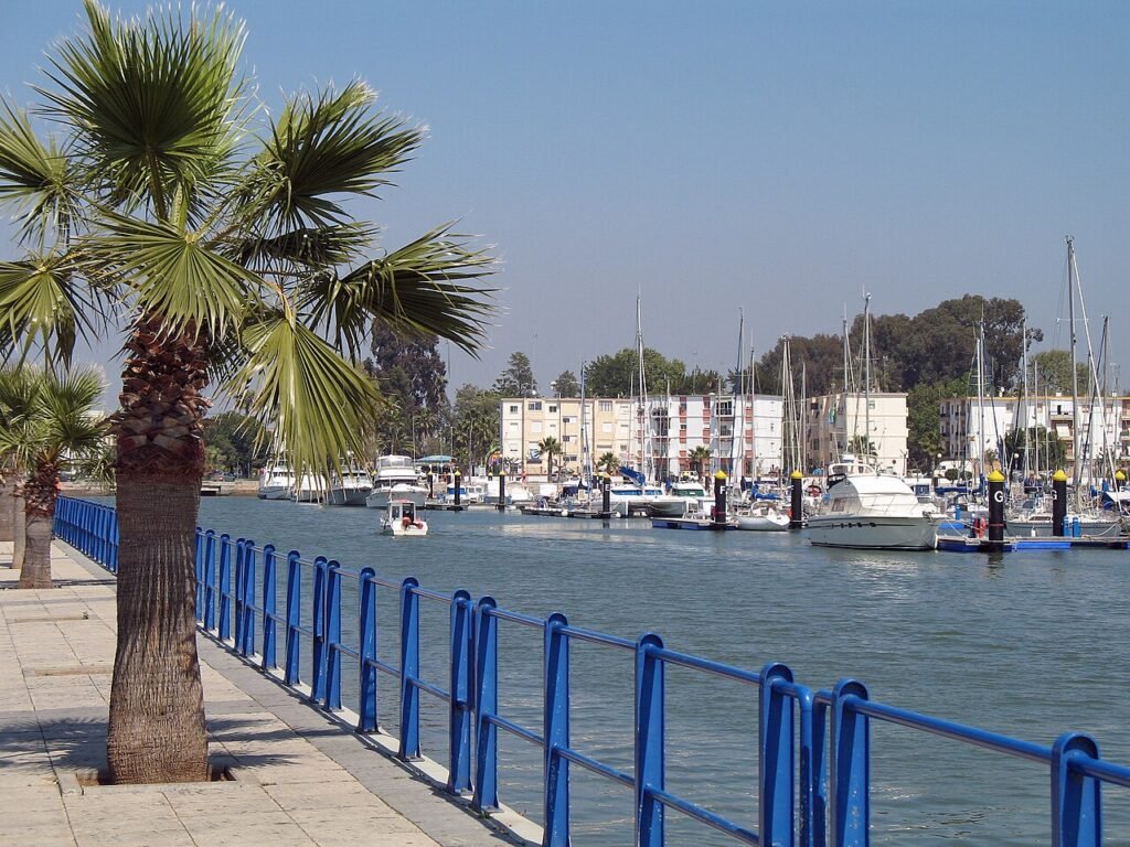
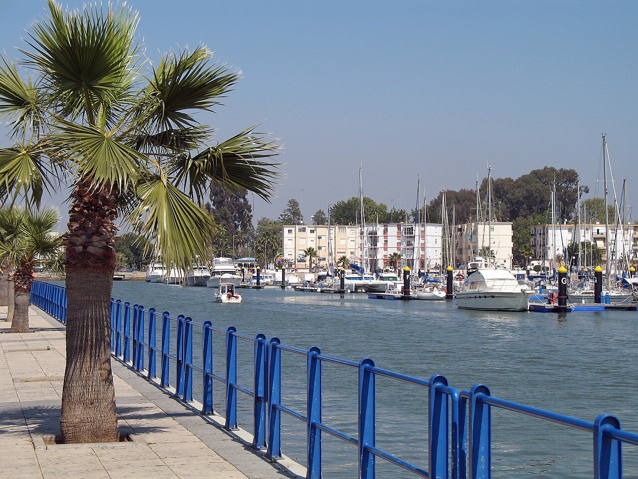
The consortium’s western corridor covers Huelva, Cartaya, Lepe, Isla Cristina and Ayamonte, with different lines, stop patterns and operating days. This makes those towns plausible for public-transport travel, but it does not prove that every service calls at every locality on the corridor. A table may show two services that serve the same larger town while making quite different intermediate stops.
For Isla Canela, check travel beyond Ayamonte town. The beach and marina are not beside Ayamonte’s central streets. For Islantilla, confirm whether the specific bus reaches the resort or stops in Lepe or Isla Cristina town. La Antilla is a beach locality of Lepe and may have a schedule that differs from the inland municipal centre.
When searching, enter the actual locality, not merely the municipality. The final kilometres matter far more than the name of the town printed on a bus destination board.
El Rompido and the Portil beaches take more planning
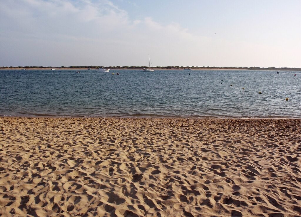
El Rompido, Nuevo Portil and El Portil are distinct coastal settlements. El Rompido and Nuevo Portil are part of Cartaya, while El Portil belongs to Punta Umbría. The M-311 Cartaya–Punta Umbría corridor lists stops near several of these areas, but the consortium has displayed periods with no scheduled service for that line. A route description does not equal a usable departure on your day.
If the coast here is your priority, choose accommodation within walking distance of the actual beach access or arrange a confirmed taxi. Avoid committing to a distant hotel purely because an old route map contains a stop nearby. Also check the surface between the stop and the beach: protected dunes, road crossings and sand can complicate luggage movement.
This is an area where a carefully chosen coastal base is often better than trying to visit several villages by bus in a single afternoon.
Doñana, El Rocío and Matalascañas are different transport questions
El Rocío is a settlement connected to the pilgrimage and the edge of Doñana, while Matalascañas is an Atlantic beach locality. Although both are associated with Almonte, they are not a single village with its attractions a short walk apart. A bus or organised excursion may get you to one, but that does not mean you can walk into Doñana’s protected core or easily change between them.
For wildlife, consider a properly licensed guided experience with a clearly stated meeting location. Protected zones have their own access limits; a general map of the national park is not a public hiking invitation. Ask operators whether they offer pick-up from Huelva or Seville before assuming you must make your own way to a remote gate.
If travelling for the pilgrimage, normal timetables, roads and accommodation can be affected by the event. Treat pilgrimage week as a special journey requiring independent planning.
Aracena and the Sierra: possible trips, less forgiving connections
Aracena is an important visitor destination for its old town and Gruta de las Maravillas, but journeys to the northern Sierra depend on bus routes that may not suit an unplanned same-day return. Smaller places such as Alájar, Aroche or Almonaster la Real can be even more difficult without a car. Travel time in the highlands is not measured well by straight-line map distances.
If you want several Sierra days, consider staying in Aracena or another locally connected base, then arranging individual excursions. Ask accommodation hosts about actual stop locations, taxi availability and which days services run. Do not assume that a rural bus linking two municipalities travels repeatedly throughout the afternoon.
Visiting the Gruta de las Maravillas also requires checking its own ticket and entry arrangements. A bus arriving in Aracena is not itself a booked cave admission.
How to check routes and avoid missed connections
Begin with the Huelva transport consortium’s official line tables, then confirm the particular line, date, direction, stop and return. Abbreviations such as weekday working-day services matter. Seasonal timetables can change around July, September and school holidays, and other operators may run services outside the consortium’s urban network.
Write down the name of the departure stop in Spanish. If using a taxi for the final leg, obtain a realistic quote and a return plan in advance, especially late at night. Add buffers when connecting separately ticketed trains and buses, and remember that rural journeys can be affected by weather.
A sensible car-free Huelva holiday often focuses on one or two well-connected coastal bases plus a few preplanned excursions, rather than attempting an entire province circuit by public transport. Reliable journeys are more valuable than a long list of theoretical connections.
For more planning help, see our Faro Airport arrival guide.