Cartaya is more varied than its name on a road sign might suggest. Behind the Atlantic resorts and pinewoods lies a town with a fifteenth-century fortress, a compact historic centre and a strong connection to the Río Piedras. A short drive south, the landscape shifts into fishing harbours, sandbanks and tidal marshes. Visiting both gives a much better sense of the municipality than spending the entire day on the beach.
The town centre and the coast are separate places, so plan them as two parts of your visit. These suggestions include historic buildings, village walks and nature stops rather than treating every beach as interchangeable. All the starting points and named settlements are in Cartaya municipality; a boat trip to the Flecha del Rompido enters a natural area also associated with neighbouring Lepe.
1. Start with the Castillo de los Zúñiga
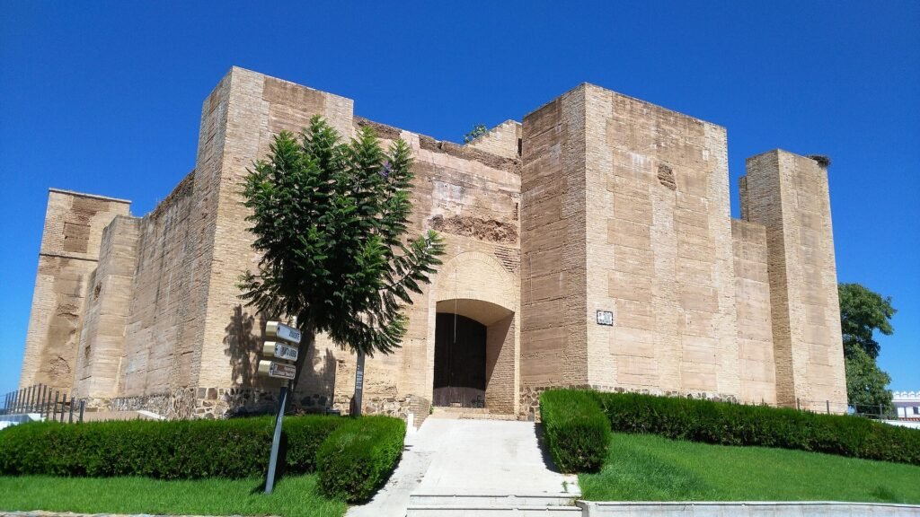
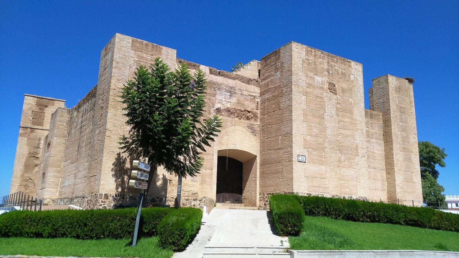
The fortress above central Cartaya is the clearest reminder that the town was once concerned with watching the river crossing and protecting its territory. Pedro de Zúñiga had the castle built in the fifteenth century. Its straightforward defensive design, square towers and strong walls feel quite different from the decorative palaces found in larger Andalusian cities.
Walk around the exterior to appreciate its position over the town, then look for the relationship between the castle, the streets below and the nearby church. The building has served several purposes over time; today it is used for cultural and civic activities. Visiting tip: Do not assume the interior is open for casual sightseeing. Ask the municipality about current events or guided openings before planning to enter.
2. Spend time around Plaza Redonda and San Pedro
The centre of Cartaya is small enough to explore on foot. Plaza Redonda gathers several of its most important buildings, including the town hall and the parish church of San Pedro. Rather than navigating directly between monuments, look along the surrounding streets for the mix of older façades and ordinary shops that gives the town its everyday character.
The existing church was built mainly between the late sixteenth and early seventeenth centuries and has a largely Renaissance design. It is worth seeing the exterior even when the church is not open. Visiting tip: Access may depend on worship and parish arrangements. The square is the practical starting point for a short, unhurried heritage walk.
3. Look for the Convento de la Merced
The former Mercedarian convent shows another architectural period in Cartaya. The current complex largely dates from the eighteenth century, with elements reflecting the transition from Baroque to Neoclassical styles. It is an interesting counterpoint to the older castle and parish church.
This is a stop to appreciate from the surrounding public space, not an invitation to walk into a monastery. The municipal heritage entry identifies it as privately owned and not open for general visits. Visiting tip: Include it on a stroll through the centre, but do not organise your day around interior access unless a specific public event is confirmed.
4. Discover the Ermita de Nuestra Señora de Consolación
This sixteenth-century hermitage is among Cartaya’s longstanding religious landmarks. Its construction and later alterations bring together Mudéjar features and Andalusian Baroque details. It also helps explain how local traditions stretch beyond the central square.
The town’s official description notes that the confraternity manages the building. Visiting tip: Published schedules may change around religious celebrations; check locally before going. Dress and behave as you would for an active place of worship.
5. Walk the waterfront in El Rompido

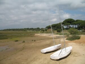
El Rompido is a fishing settlement at the Río Piedras estuary, not merely a beach resort. Its waterfront offers changing views of moored boats, tidal water and the long sand formation opposite. The shore can appear completely different at high and low tide, so there is no single fixed postcard view.
Have a look at the harbour, continue towards the village streets and stop where the estuary opens up. It is possible to enjoy the setting without booking a boat excursion. Visiting tip: Waterside businesses operate on different schedules, especially outside summer. Leave room in your plan for a walk rather than relying on a particular restaurant being open.
6. Compare El Rompido’s two lighthouses
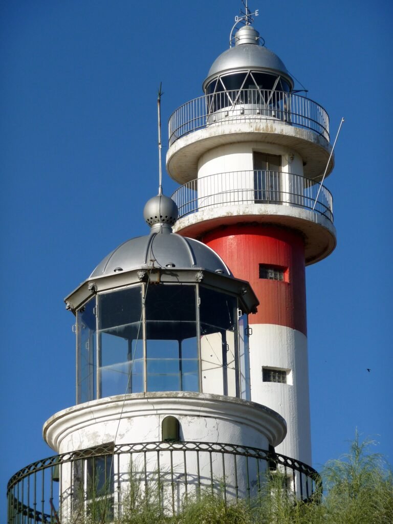
The older lighthouse dates to 1861; the taller modern lighthouse took over in 1976. Seeing the two together makes the changing needs of coastal navigation unusually easy to understand. Their different proportions are also a striking feature of the village skyline.
The old lighthouse reopened as an interpretation centre in 2025. It introduces the surrounding marshes, wildlife, pinewoods and the settlement’s fishing links, including a display of the former lighthouse lens. Visiting tip: Verify the centre’s current days and hours with the tourism office rather than using older opening times. Do not assume that either lighthouse can be climbed.
7. Take a short nature walk beside the Río Piedras
Near the lighthouse, the Río Piedras footpath brings together tidal channels, coastal vegetation and views of the sandspit. The municipality describes a low-difficulty route of about four kilometres, with an adapted section at the start and several places to rest. Birdwatchers should bring binoculars: mudflats and shallow water attract species that may otherwise be hard to spot.
Visiting tip: The adapted opening section does not mean the entire circular walk is universally accessible. Check the ground conditions, take sun protection and remain on marked paths. The marshes are particularly exposed in hot or windy weather.
8. Choose between Playa de San Miguel and Nuevo Portil
Playa de San Miguel sits between El Rompido and Nuevo Portil, with pinewoods meeting the sandy shore. It suits travellers who want a coastal walk as much as a beach stop. Nuevo Portil offers a different outlook along the Atlantic side of the municipality, with access points and coastal facilities that vary by section.
Visiting tip: Beach services, lifeguards and accessibility equipment are seasonal. Check the municipality’s current beach information, and never infer safe swimming conditions from a calm-looking photo. Pay attention to tide, wind, flags and any local instructions.
9. See the coast from Caño de la Culata
On the Nuevo Portil side, the Caño de la Culata botanical trail adds a modest walk to a beach outing. Municipal information describes a short route with boards identifying characteristic plants of sandy and wooded coastal terrain. The mix of dunes, pine and low vegetation is easy to miss if you concentrate only on the water.
Visiting tip: This is better treated as a botanical walk than a demanding hike. Use the established paths and boardwalks to avoid damaging dune vegetation; verify the current condition of paths and beach access points on arrival.
10. Explore the Pinares de Cartaya
Far from the shoreline, the municipality’s extensive stone-pine woodlands create a very different landscape. The local authority describes roughly 11,500 hectares of pine-dominated forest, with Mediterranean shrubs and wildlife. Designated paths and picnic areas make the woods a useful alternative when the beach is not the main attraction.
Visiting tip: The pinewoods are a broad area rather than one guaranteed visitor entrance. Choose a specific marked route before setting off, bring drinking water and check restrictions linked to fire risk or forestry work. Avoid entering unsigned tracks simply because they appear on a map.
How to plan a visit to Cartaya
For a single day, spend the morning around Plaza Redonda, San Pedro and the castle, then travel to El Rompido for a waterfront walk and lighthouse stop. With extra time, choose either the Río Piedras path or a beach rather than attempting every nature route. A second day works best for Novo Portil, Caño de la Culata and the pinewoods.
Getting around: The historic town and coastal settlements are not one continuous pedestrian area. A car is convenient for linking them; confirm current buses if travelling without one. The tourist office in El Rompido, at Plaza de las Sirenas, is useful for up-to-date local information.
Accessibility: The municipality identifies an adapted starting section on the Río Piedras trail, but historic buildings and beach paths have different conditions. Verify the exact route or entrance that matters to you instead of assuming whole attractions are step-free.